Project record
PUBLIC LOCATION
Olympia region / generalized
01
Question + scope
Bryophytes make scale visible: minute diagnostic traits determine identity, while substrate, moisture, habitat, and repeated occurrence determine what a site record can mean. This project carries that reasoning from notebook and microscope into mobile GIS.
02
Field to evidence
Two connected parts of the work, with the material that supports each one.
Notebook + microscope
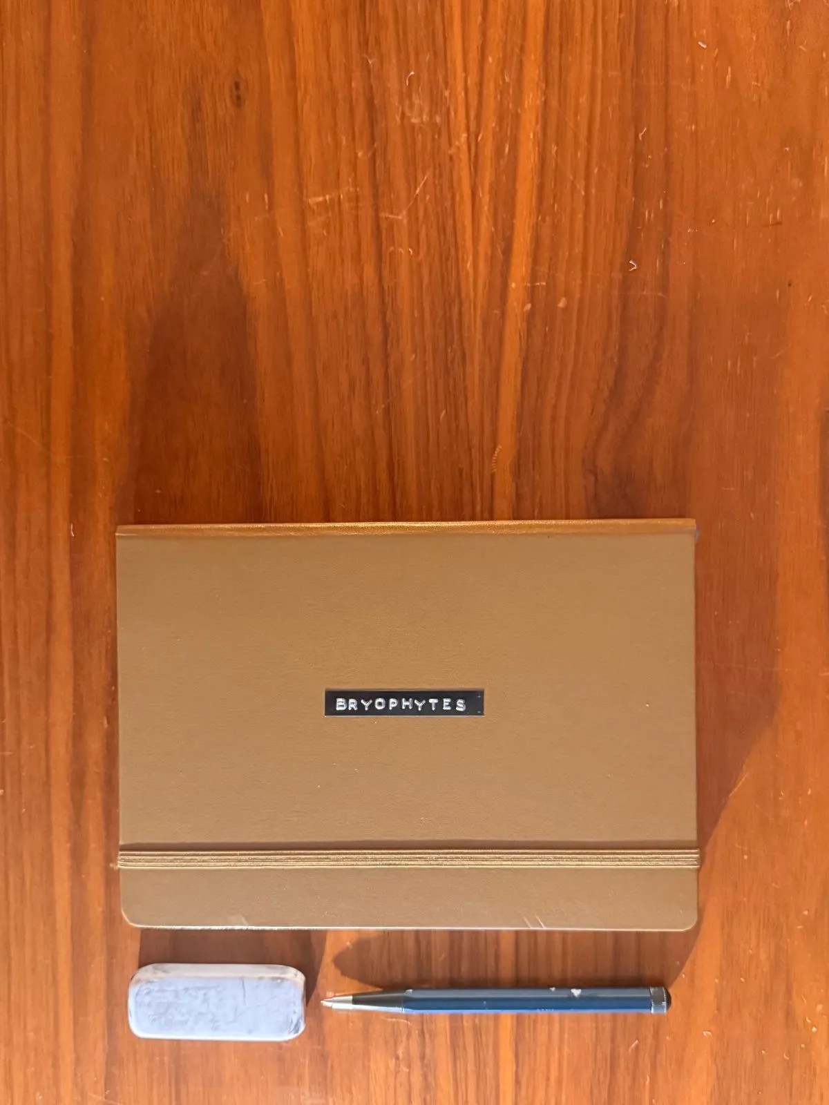
Collection, diagnostic keying, measured morphology, substrate, habitat, photography, and illustration remain together as the identification record.
- 15-taxon bryophyte notebook
- diagnostic drawings and microscopy
- photographic field vouchers
Field record + map
Survey123 and Field Maps carry the notebook structure into repeatable records; Arcade validation and dashboards expose gaps, patterns, and the next survey question.
- 23 standardized records
- mobile form and validation logic
- map and dashboard views
03
Linked material
04
Complete record
Bryophyte diagnostic notebook
15-taxon notebook / field records, microscopy, measurements, identification, and illustration